Powerful geodata management for Earth observation and maritime research
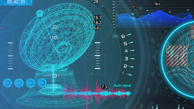
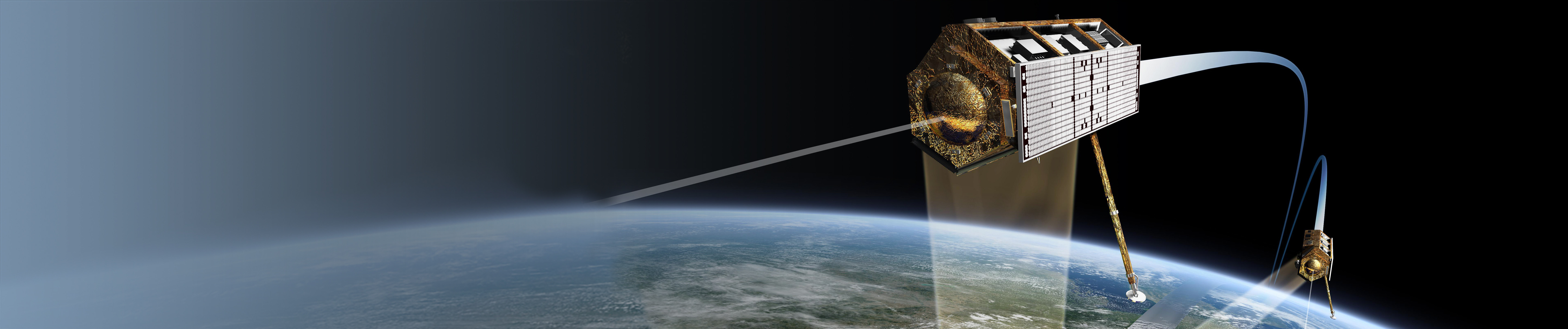
From space, in the deepest oceans or in the remotest polar regions – data are collected at all sorts of locations in order to explore the development of our Earth's eco- and climate system. Environmental data come from satellites, research vessels, remotely operated vehicles, aircrafts, monitoring networks or research stations. And they entail enormous data volumes. The data are precious because a lot of time and money is invested in collecting them and re-collecting them a second time probably is near on impossible. Therefore, the best possible data quality must be achieved at the first go.
The key to new scientific findings is the optimal processing of those data.
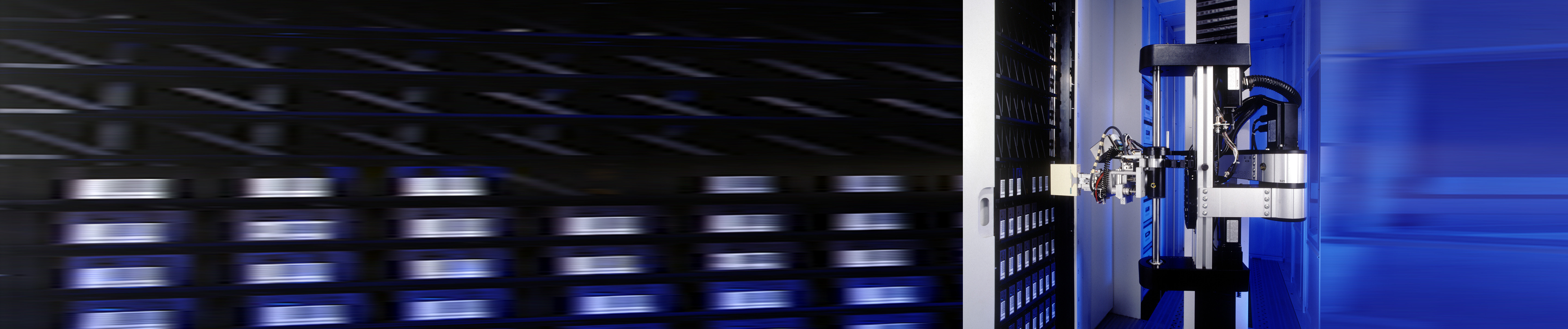
That is why you need a partner at your side who takes the best care of your data. Tried and tested for more than two decades, our IT systems have proven to be reliable and powerful solutions for the management and control of satellite data processing and the management of measurement data collected at sea or ashore.
Our IT solutions for high-performance processing and archiving of satellite data and maritime measurement data
The challenge is to manage the enormous volumes of data gained from different sources, to transform them into high-quality data products by automated processing, to enrich them with context information and to make them comfortably available to commercial or scientific users. This also involves that the system is required to support contemporary data centers as well as cloud systems.
No matter whether it is the processing of Earth observation data or the archiving and distribution of scientific data – our solutions are geared to it and you get a reliable and powerful system for your measurement data management.
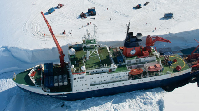
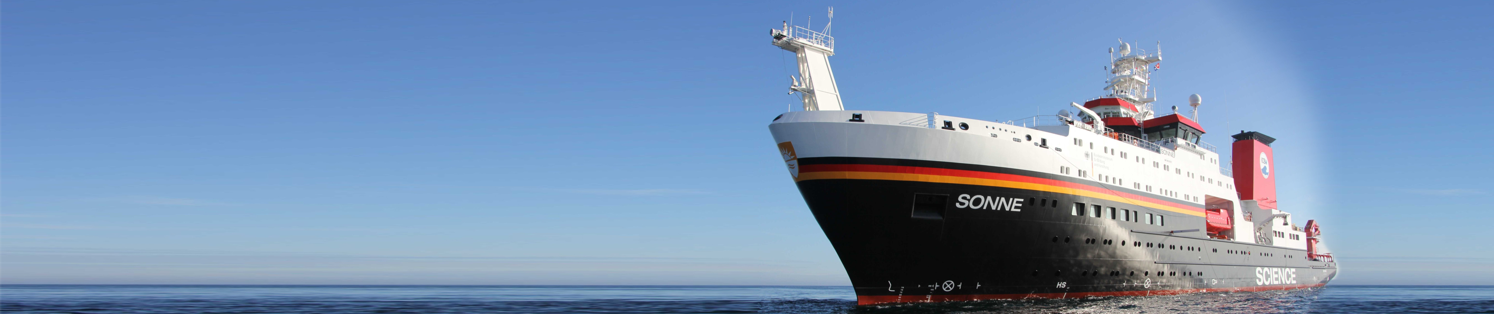
Our solutions successfully run on many research vessels (e.g. Meteor, Polarstern, Sonne), at research stations (Neumayer III), in research aircrafts (e.g. Polar 5 and Polar 6), in space missions, and on satellites (e.g. Copernicus, EnMAP, Earth Explorer). For many years, we have also been working by order of the European Space Agency (ESA), the European Organization for the Exploitation of Meteorological Satellites (EUMETSAT) and the German Aerospace Center (DLR).
We are looking forward to telling you more about our solutions and references: please feel free to contact us!
Good reasons for geodata management
Our short articles explain the most important aspects of geodata management.